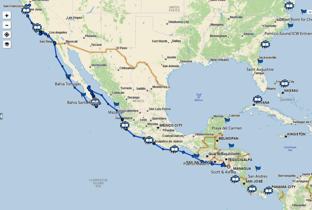
We have a Garmin inReach satellite phone aboard Azimuth that tracks our location, provides essential weather and emergency services, and lets us send and receive messages anywhere in the world! Click the “View All Tracks” button in the link above to see where we’ve been and find the blue flags on the map for a general sense of where we’re headed.
Interested in the details of what’s next? Us too! Plans may change but throughout, we’re taking the slow route to the next stage of life. By sail, the Chesapeake Bay is an 8,000 nautical mile journey, give or take a thousand for weather and detours. Check out our route options on Google Earth for our best guesses.